Enjoy the mild weather because big changes are looming!
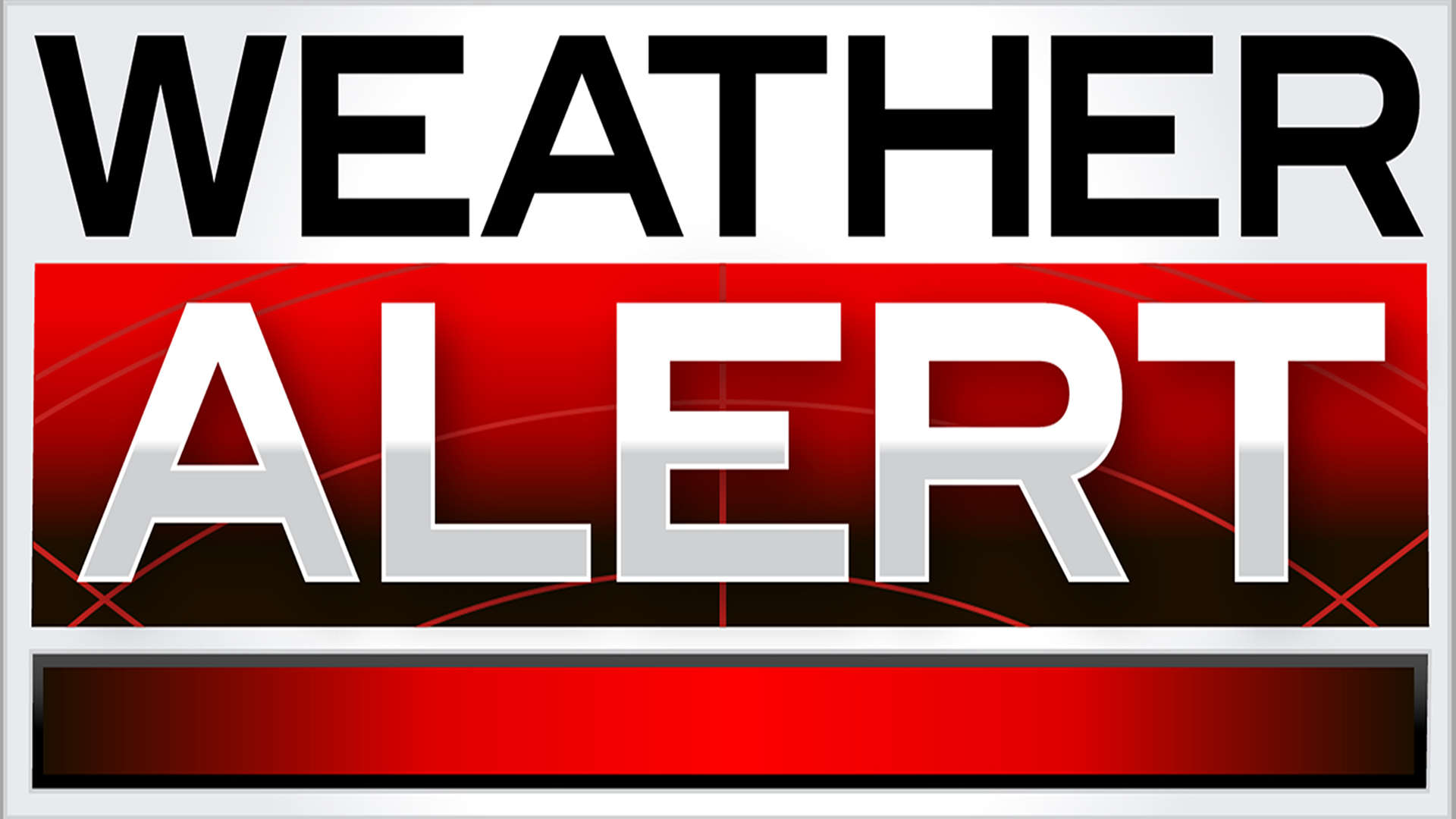
Enjoy the mild weather because big changes are looming as our next round of winter weather moves in. Highs today are expected to surge well above average, climbing into the lower 60s. This warmer airmass develops ahead of our next cold front which moves toward us this afternoon. This front brings on and off showers to the Ozarks with more moderate rainfall in store later in the evening. The cold front sets the stage for a potent winter storm that moves into the region by tonight into Wednesday.
Multiple areas of low pressure will impact the viewing area with wintry mixed precipitation beginning late Tuesday night into Wednesday morning. We’ll likely see rain changeover to freezing rain by the wee hours of our Wednesday. Sleet begins to mix with the freezing rain for the first half of our Wednesday with snow mixing in by the afternoon. Cold air continues to take over which will change that wintry mix to mainly snow by Wednesday night. Another area of low pressure moves in by Thursday and that’s going to keep the snow around for the majority of our Thursday. The snow then begins to taper off to light snow showers and flurries Thursday night into early Friday as the Arctic air sets in.
This storm system will bring big impacts to the area with travel becoming really tough by late Wednesday into Thursday. Conditions will likely be treacherous throughout the day on Thursday so please be prepared early in the week. Winter Storm Watches and Warnings have been issued for all of us throughout Ozarks, including Springfield through midnight Friday. Accumulations of snow north of town could rise close to a foot with amounts in Central Missouri higher than that. Snowfall could top out between 8-12″ in the metro but under that we’ll likely have freezing rain and some sleet accumulation. Higher amounts of ice and sleet are in store the farther south and east you travel. Ice accumulations could stack up over half an inch with some spots rising up toward an inch in Northern Arkansas.
That much ice could be crippling with power outages becoming a strong possibility. Please stay tuned as changes are possible as shift in the track of the lows one way or another will make a big difference in precipitation types and the changeover times. Confidence is definitely growing the storm path though but little changes could still occur so stay tuned. Arctic air settles Thursday into Friday with highs in the 20s and lows in the single digits. High pressure builds in late Friday and that will bring a return the sunshine on Saturday with highs warming back into the 30s. Sunday is looking even warmer but we’ll see a few more clouds as a weak front looks to slide through the area.
 Traffic Crash in Boone County Kills One, Injures Another
 Juneteenth Federal Holiday Closes Government Offices, Financial Institutions
 Have Recent Rains Impacted the Drought Levels?
 Which Table Rock Lake Swim Beaches Have Reopened?
 How are E. Coli Levels Impacting the Finley River?


