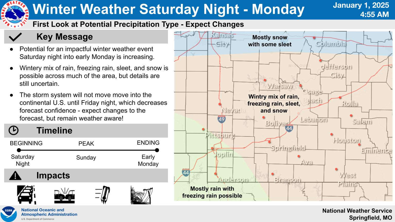
While the New Year begins with dry conditions with sunshine expected later today, the weekend could see the arrival of some winter weather followed by very cold temperatures.
The latest information from the National Weather Service indicates that daily high temperatures will drop slightly each day going into the weekend with low 40s expected before the arrival of a fontal system that will initially bring rain to the Lakes Region on Sunday followed by a brief chance of some freezing rain before ending early Monday morning. Forecasters say refinements in the timing and type of precipitation will take place as the system enters U.S. on Friday.
Arctic air behind the front will keep temperatures below freezing to begin the week with highs only in the 20s and lows in the teens.
 Branson Schools Announces New Executive Director of Operations
 Pioneering Quality in the Steel Industry
 Can a Contractor Take Over Your Home
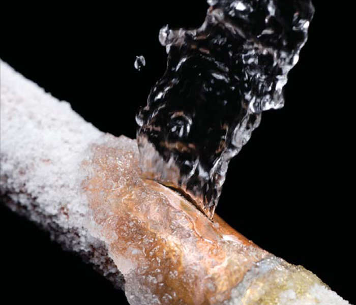 Frozen Pipes, Hot Water Heaters, and Dishwasher Mishaps
 Choosing the Right Trailer: A Comprehensive Guide


