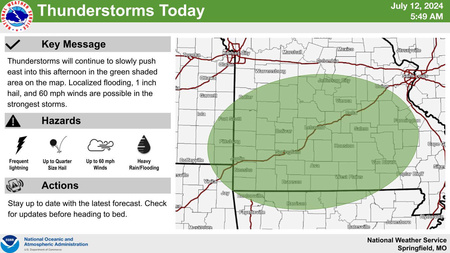
A round of scattered showers move through the region today in advance of a very warm weekend in the Lakes Region.
Strong storms with some localized flooding may be possible as the storms move through.
After the showers move out of the Ozarks this afternoon with temperatures in the low 90s, a warm-up begins which sees the temperatures approaching 100 by the first of the week with Heat Index readings getting over 100.
Those conditions will continue until mid-week when another front brings a chance of rain back to the region.
 Branson Schools Announces New Executive Director of Operations
 Pioneering Quality in the Steel Industry
 Can a Contractor Take Over Your Home
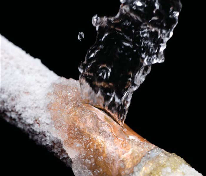 Frozen Pipes, Hot Water Heaters, and Dishwasher Mishaps
 Choosing the Right Trailer: A Comprehensive Guide


