
Several rounds of showers and thunderstorms move through the Lakes Region ending this morning.
Various watches and warnings were posted by the National Weather Service during the day dumping up to six inches of rain in some areas.
The strongest storms impacting the Lakes Region rolled in late Saturday night which spawned two tornado warnings, one Barry County in Missouri and the other for Carroll and Madison Counties in Arkansas. Both storms were radar indicated and no touchdowns have bee recorded so far.
Several Severe Thunderstorm Warnings were posted for primarily strong winds that reached near 70 MPH. As of Sunday morning, several areas are still without power due to storm damage.
Flood Warnings are still in effect for the James River in Stone and Christian Counties into Monday. The NWS Report says the river at Galena is expected to crest just above flood stage this afternoon at 17 1/2 feet which will cause minor Flooding. Another round of Flood Warnings away from the river. Northern Stone and Barry Counties are included in that with flooding possible at low water crossings.
Rain has departed the region and is being replaced by cooler air, with highs in the 70s and lows in the 50s the next two days.
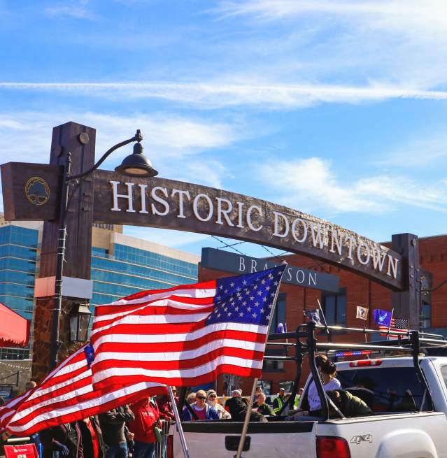 Flag Day Parade Today in Branson
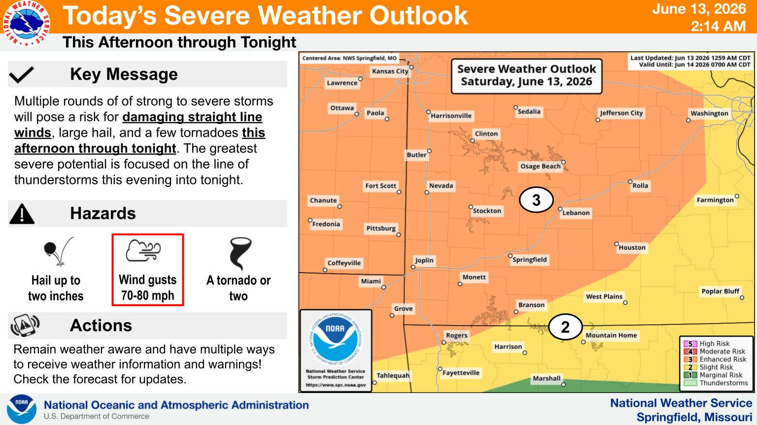 Severe Storms and Heavy Rain Possible Today UPDATE 3
 More Swim Beaches Close on Table Rock Lake Due to E. Coli Levels
 One Person Dies in Branson West Traffic Crash


