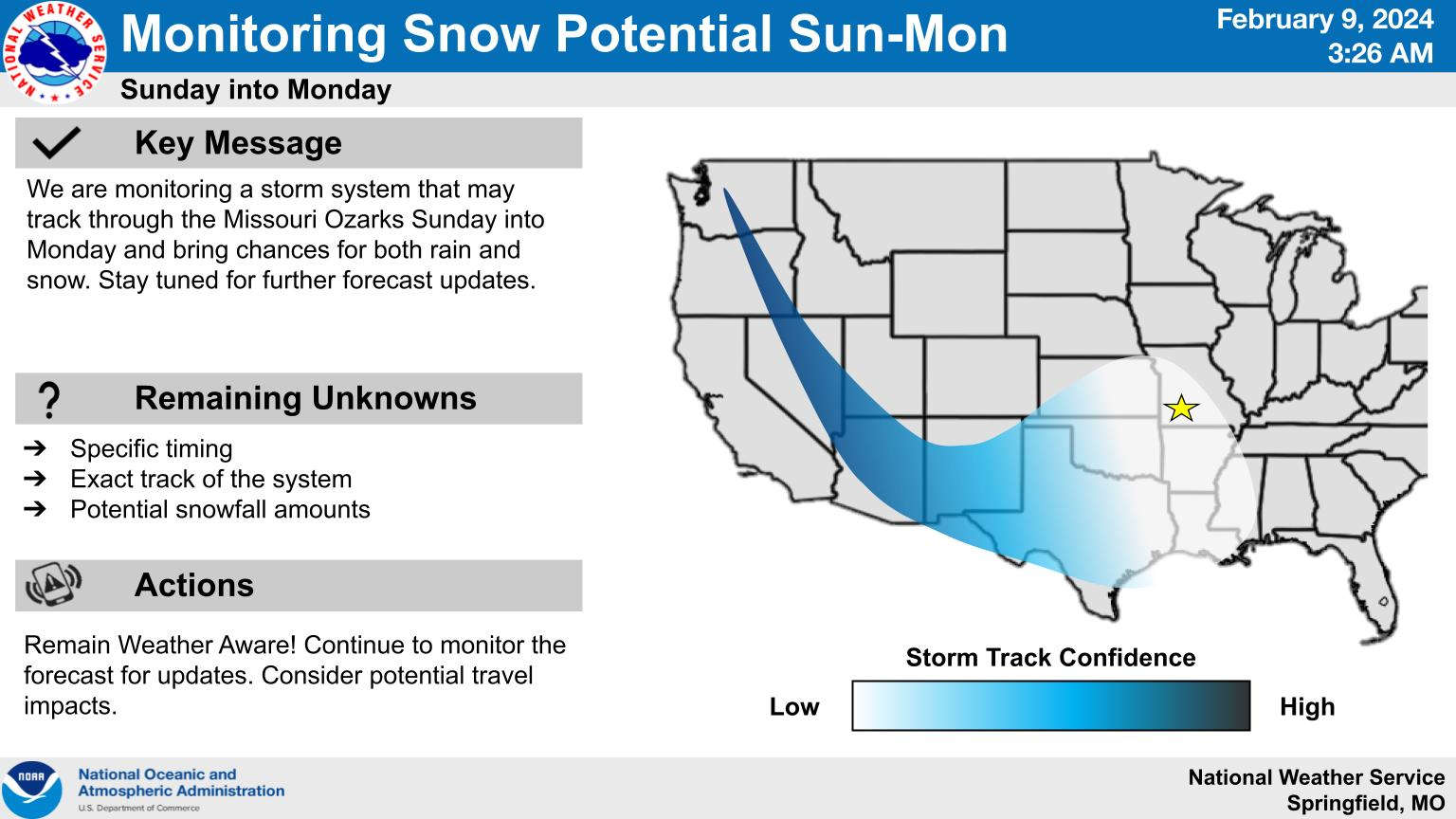
Weather forecasters are continuing to monitor a storm system that could bring a chance of some snow showers to the Ozarks late Sunday night into Monday morning.
The National Weather Service says current trends call for the precipitation to be mainly rain until late Sunday, when temperatures will drop to around freezing. Statements from the weather service says that recent warm temperatures could keep accumulations to a minimum but could cause some travel impacts early Monday.
Temperatures will warm up to the 40’s later in the day and to the 50’s by Tuesday.
 Branson Schools Announces New Executive Director of Operations
 Pioneering Quality in the Steel Industry
 Can a Contractor Take Over Your Home
 Frozen Pipes, Hot Water Heaters, and Dishwasher Mishaps
 Choosing the Right Trailer: A Comprehensive Guide


