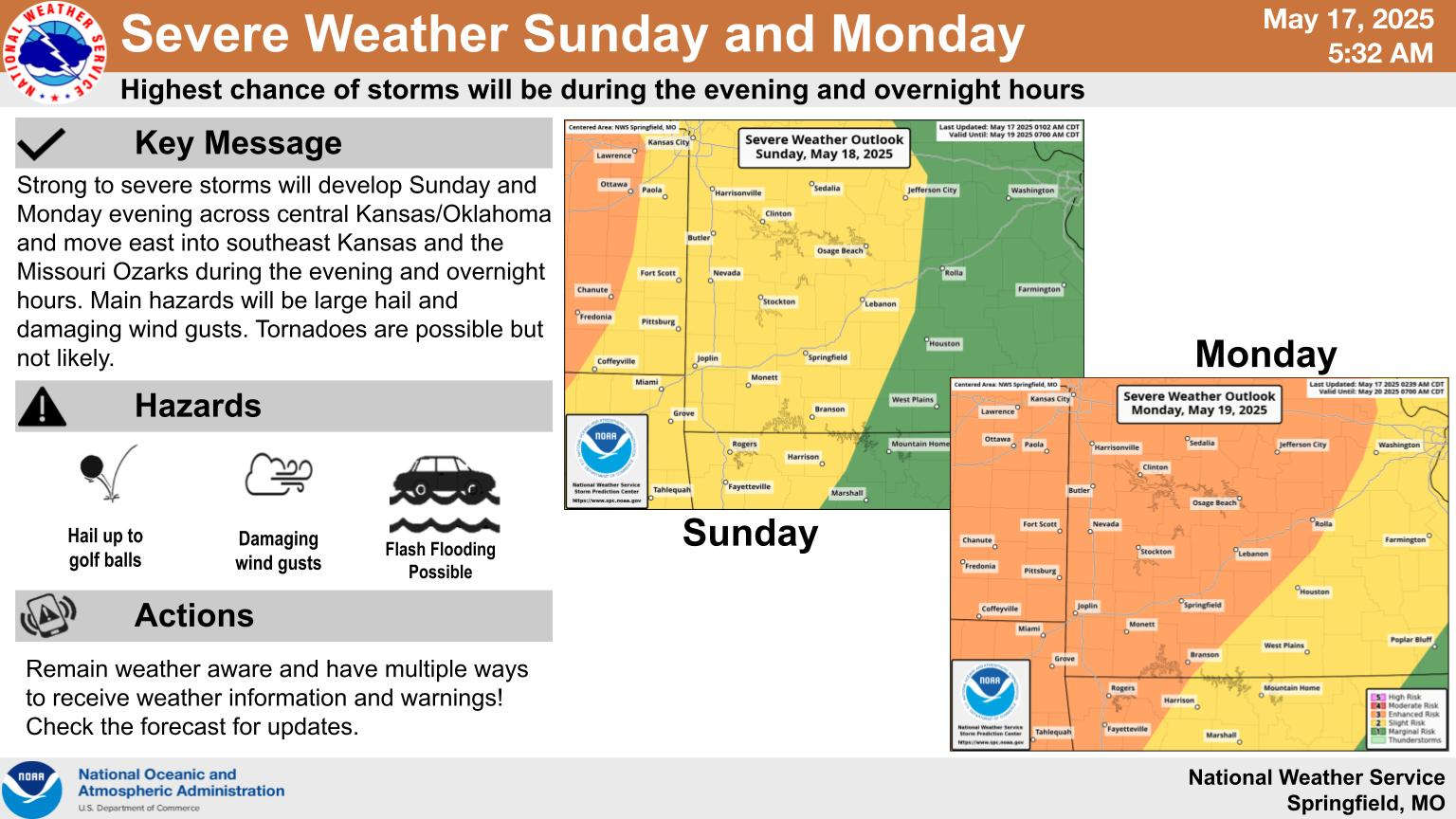
National Weather Service Forecasters have again increased the level of severe weather risk over the next several days.
After a quiet Saturday afternoon, forecasters predict the next round of showers and thunderstorms to begin tonight and continue off and on into the first of the week. The severe weather threat is at a Slight risk for Sunday, but moves up to Enhanced risk for areas northwest of a Branson to Harrison line. Strong winds and hail are the primary threats, though rain is expected to increase in intensity Sunday into Monday adding the risk of flooding to the region.
After the frontal systems move through, several days of cooler temperatures are in the forecast starting with highs only in the 60s on Wednesday.
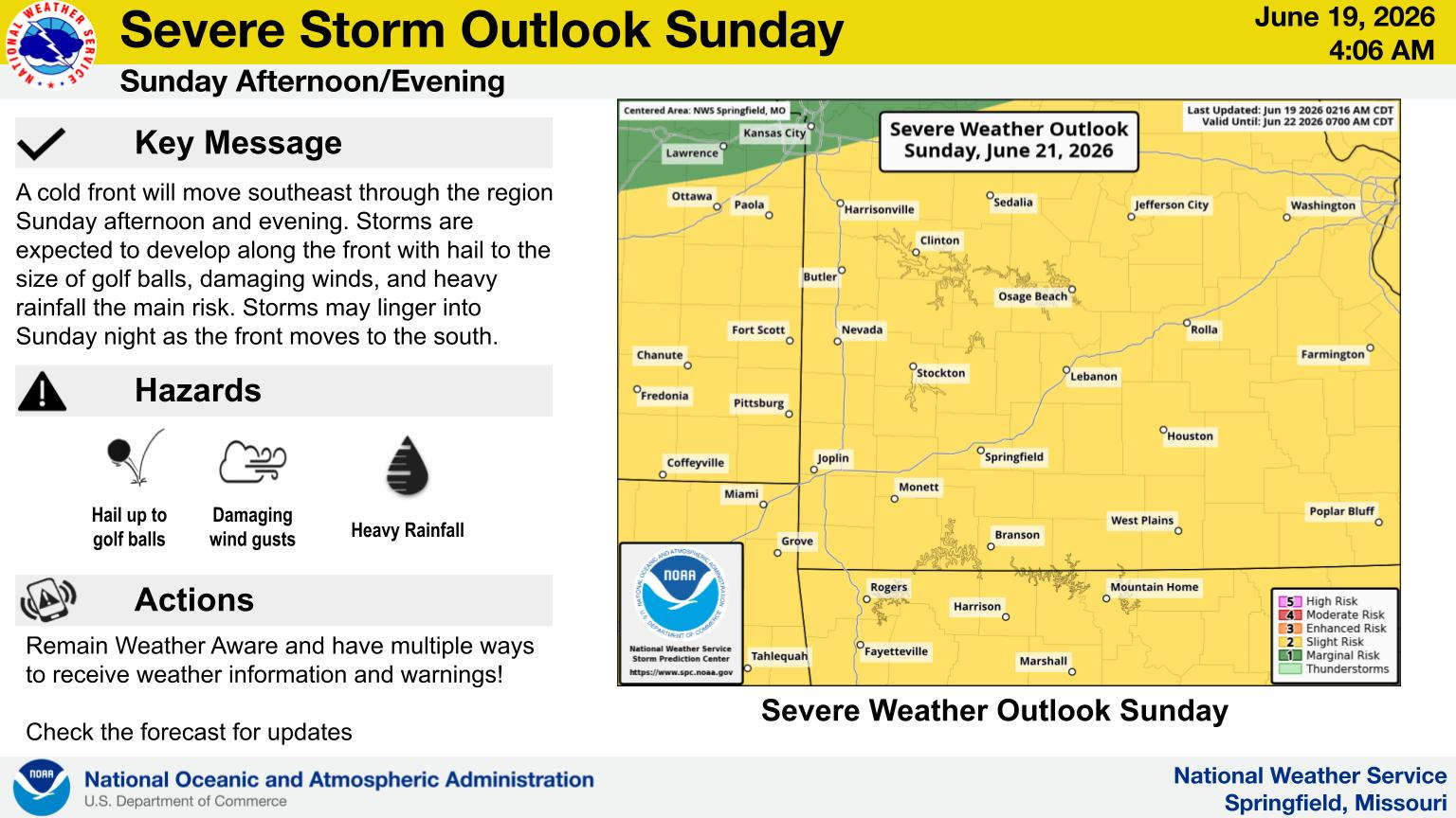 Rainy Weekend Ahead for the Lakes Region
 H2Ozarks Among Groups Benefitting from Latest Grants from Arkansas Department of Agriculture
 Traffic Crash in Boone County Kills One, Injures Another
 Juneteenth Federal Holiday Closes Government Offices, Financial Institutions
 Have Recent Rains Impacted the Drought Levels?


