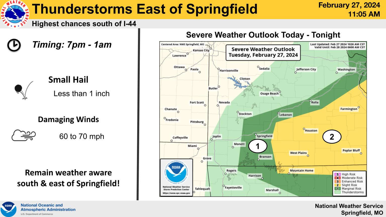
A major temperature drop in the Lakes Region will not lead to a wide-spread severe weather outbreak.
National Weather Service Meteorologist Raychel Nelson, during an interview on KRZK's "Ozarks Now" program said that the low humidity that along with strong winds create fire hazard also keeps the chance of moisture creating enough energy to spawn thunderstorms and tornados despite the major temperature drop.
Nelson does say that pockets of strong to severe storms could develop as the front moves through this evening but will be of short duration. Updated information from forecasters has elevated the risk of severe storms between marginal and slight for the region with risks of small hail and 60-70 MPH Wind Gusts.
Winds are expected to shift to the northwest after midnight which will drop temperatures quickly to around 30 on Monday. Winds will stay high and humidity low which will continue the fire risk into Wednesday.
The complete interview with Raychel Nelson from Ozarks Now can be heard below:
 Branson Schools Announces New Executive Director of Operations
 Pioneering Quality in the Steel Industry
 Can a Contractor Take Over Your Home
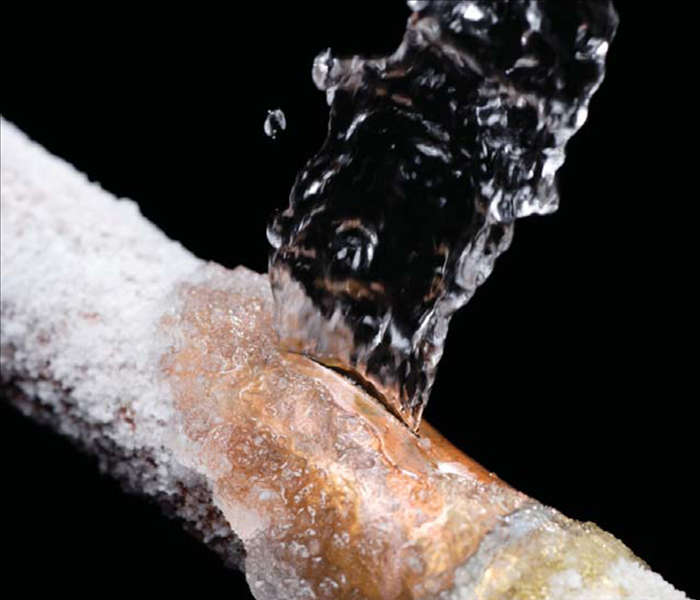 Frozen Pipes, Hot Water Heaters, and Dishwasher Mishaps
 Choosing the Right Trailer: A Comprehensive Guide


