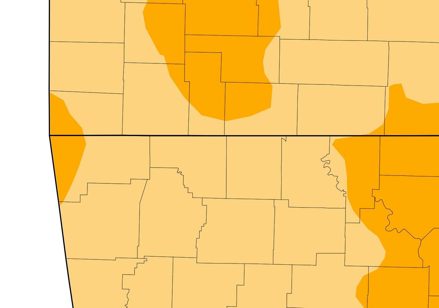
The latest map from the U.S. Drought Monitor shows parts of the Lakes Region at an increase in drought level.
The map, released prior to Thursday’s rain, indicates that areas north of a Branson and Kimberling City line are now at a Severe Drought Level while the rest of the Lakes Region remains at Moderate Levels.
The areas in severe drought are showing lower water levels in rivers and streams with winter vegetation being stressed.
The current forecast calls for little to any precipitation over the next seven days.
 Traffic Crash in Boone County Kills One, Injures Another
 Juneteenth Federal Holiday Closes Government Offices, Financial Institutions
 Have Recent Rains Impacted the Drought Levels?
 Which Table Rock Lake Swim Beaches Have Reopened?
 How are E. Coli Levels Impacting the Finley River?


