
The Cool Weather left behind by the recent round of storms that struck the Lakes Region lingers one more day prior to a warm-up.
Temperatures are expected to reach into the mid to upper 60s today with some areas seeing overnight temperatures in the upper 30s.
Sunday begins a sharp warm-up with highs into the upper 70s to around 80 for both Sunday and Monday before showers and thunderstorms reenter the forecast picture Monday night into Tuesday. Forecasters with the National Weather Service office in Tulsa say some severe storms could be possible as the next system moves into the Lakes Region.
 Branson Schools Announces New Executive Director of Operations
 Pioneering Quality in the Steel Industry
 Can a Contractor Take Over Your Home
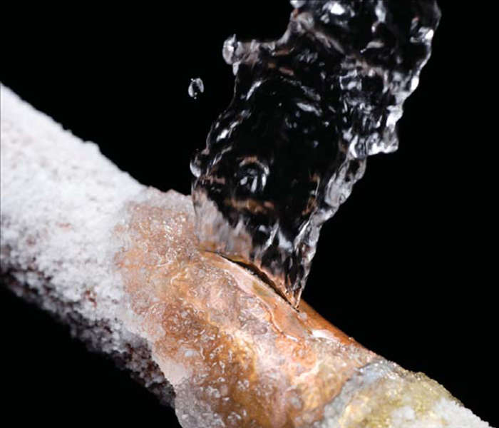 Frozen Pipes, Hot Water Heaters, and Dishwasher Mishaps
 Choosing the Right Trailer: A Comprehensive Guide


