
While the weekend looks to be very chilly, the National Weather Service looks for a warming trend to start next week and to continue through Christmas.
The second of two cold fronts will be pushing through the Lakes Region Saturday evening will drop temperatures into the lower teens with wind chill readings into the single digits. Sunday will see high temperatures below freezing though it will be under a mostly sunny sky.
After another frigid night Sunday, temperatures begin the rebound back into the 40s Monday with upper 50s to around 60 degree temperatures possible by midweek.
The extended outlook from the NWS calls for temperatures to stay above normal most days until Christmas.
 Branson Schools Announces New Executive Director of Operations
 Pioneering Quality in the Steel Industry
 Can a Contractor Take Over Your Home
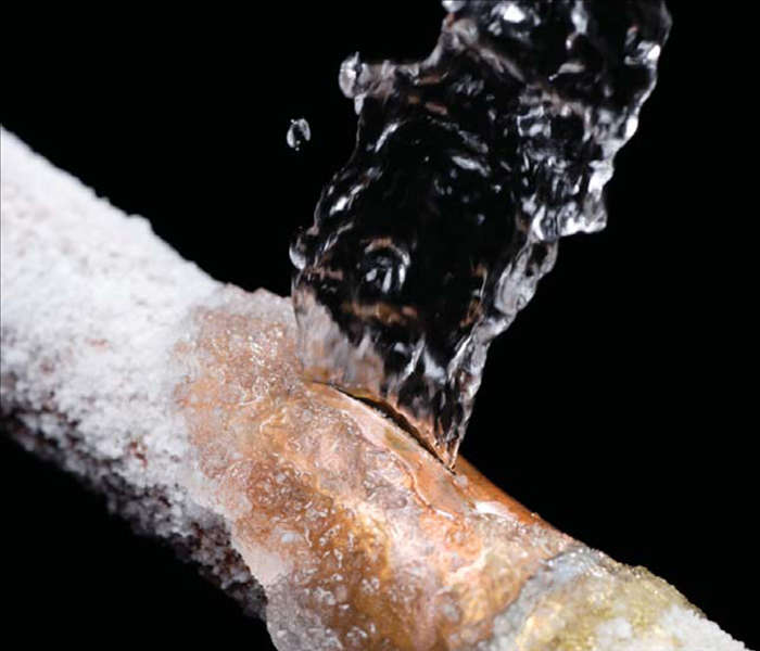 Frozen Pipes, Hot Water Heaters, and Dishwasher Mishaps
 Choosing the Right Trailer: A Comprehensive Guide


