

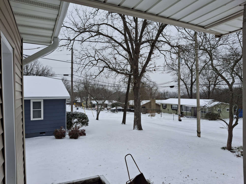
Snow fall is tapering off Saturday afternoon with more snow coming later Saturday night into Sunday.
Most snow totals as of Noon Saturday are in the one to three inch range with the highest amounts reported in Missouri near Seligman in Barry County as well as in Arkansas around Eureka Springs each showing around four inches.
The traveler information maps for both Arkansas and Missouri show all major highways are snow covered.
The snow is expected to taper off and pause for a period before firing back up late Saturday night into Sunday morning where the heavier of the snow fall is expected with additional accumulations of four to eight inches possible. Some areas may see a brief period of sleet during this round of precipitation. Precipitation is expected to move out of the region Sunday afternoon.
Temperatures also continue to drop as highs are only in the teens and wind chills below zero into Monday. Overnight lows are expected Sunday night into Monday.
Officials are still urging people to stay off the roads as much as possible for the weekend.
Check our website for updated information on business and church closings over the weekend.


 Woman Sentenced in 2025 Kimberling City Apartment Fire
 New Branson Junior High Activity Center to be Dedicated
 C of O Basketball Teams Hosting, Playing in Postseason
 Strongest Storms Again Miss Lakes Region